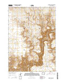
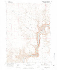
2014 Map of Rinehart Canyon
USGS Topo · Published 2014About this map
Rinehart Canyon and the deeply incised Owyhee Canyon dominate this high desert landscape of Malheur County, where the Owyhee River carves a dramatic path through the volcanic terrain. This 2014 survey documents a region defined by its water management for ranching and livestock, featuring an extensive network of small catchments such as Gallagher Reservoir, Stanfield Reservoir, and Jackson Creek Reservoir. These man-made features, alongside natural water sources like Rinehart Spring and Hoot Owl Spring, illustrate the essential infrastructure required to sustain life and industry in the arid Oregon interior.
Find a feature on this map
32 named features on this map. Tap any name to fly to it.
Don’t see what you’re looking for? This feature index may not catch every label — zoom into the map to look around manually.
Map Details
Editions of this 2014 Rinehart Canyon Map
This is the sole edition of this map. No revisions or reprints were ever made.
Other maps of this area

1955 · Boise
USGS Topo · 1:250,000

1958 · Boise
USGS Topo · 1:250,000

1962 · Boise
USGS Topo · 1:250,000

1972 · Cedar Mountain
USGS Topo · 1:24,000
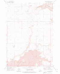
1972 · Wrangle Butte
USGS Topo · 1:24,000
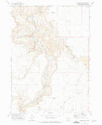
1972 · Lambert Rocks
USGS Topo · 1:24,000

1972 · Burnt Flat
USGS Topo · 1:24,000

1972 · Big Mud Flat
USGS Topo · 1:24,000
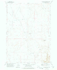
1972 · Sacramento Butte
USGS Topo · 1:24,000
1972 · Rinehart Canyon
USGS Topo · 1:24,000