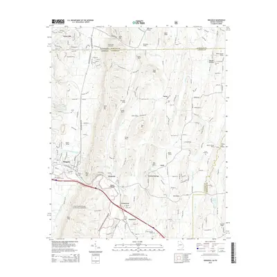
2014 Map of Ringgold
USGS Topo · Published 2014About this map
Ringgold serves as the central hub of this North Georgia landscape, situated just south of the Tennessee border where the South Chickamauga Creek winds through the valley floor. The geography is defined by parallel ridges, including the prominent White Oak Mtn and Taylor Ridge, which channel development and historic transport routes. Small rural clusters like Shookville, Sugartown, and Stone Church are scattered across the lowlands, reflecting a long history of community life anchored by local landmarks. To the south, the Chattahoochee National Forest covers the upland terrain, preserving the natural character of the ridges.
Find a feature on this map
61 named features on this map. Tap any name to fly to it.
Don’t see what you’re looking for? This feature index may not catch every label — zoom into the map to look around manually.
Map Details
Editions of this 2014 Ringgold Map
This is the sole edition of this map. No revisions or reprints were ever made.
Other maps of this area

1886 · Dalton
USGS Topo · 1:125,000

1886 · Cleveland
USGS Topo · 1:125,000

1886 · Ringgold
USGS Topo · 1:125,000

1888 · Chattanooga
USGS Topo · 1:125,000

1892 · Ringgold
USGS Topo · 1:125,000

1892 · Cleveland
USGS Topo · 1:125,000

1892 · Dalton
USGS Topo · 1:125,000

1893 · Chattanooga
USGS Topo · 1:125,000

1895 · Cleveland
USGS Topo · 1:125,000

1897 · Dalton
USGS Topo · 1:125,000