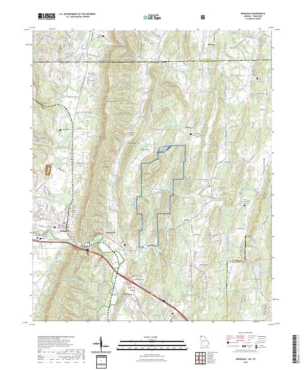
2024 Map of Ringgold
USGS Topo · Published 2024About this map
Ringgold serves as the focal point of this North Georgia landscape, where the Catoosa County Courthouse and the Chickamauga and Chattanooga National Military Park anchor the local geography. The terrain is defined by the long, parallel ridges of White Oak Mountain and Taylor Ridge, which channel the flow of South Chickamauga Creek and its many tributaries. This modern topographic study shows a mix of rural heritage and state-managed lands, including the NG VTS Catoosa training site and portions of the Chattahoochee National Forest.
Find a feature on this map
201 named features on this map. Tap any name to fly to it.
Don’t see what you’re looking for? This feature index may not catch every label — zoom into the map to look around manually.
Map Details
Editions of this 2024 Ringgold Map
This is the sole edition of this map. No revisions or reprints were ever made.
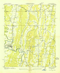
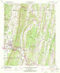
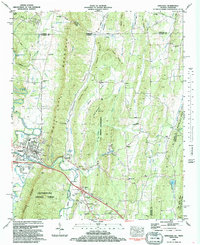
Historical Maps of Kesler Hills Through Time
5 maps found