Loading...
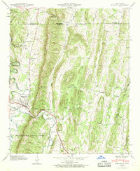
Loading map...1946 Map of Ringgold
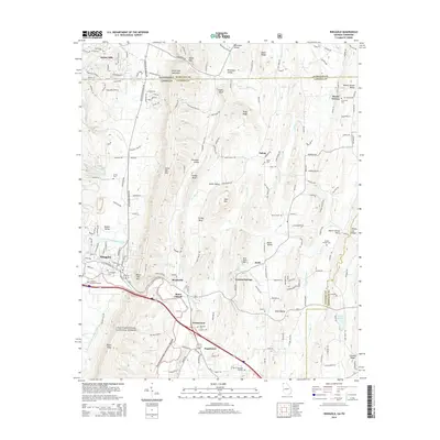
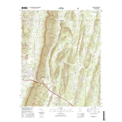
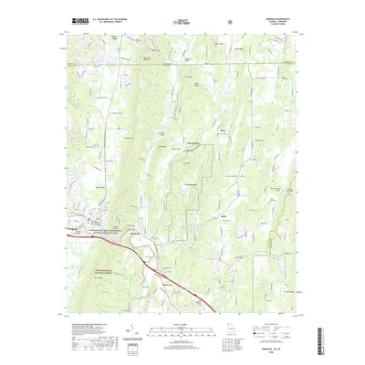
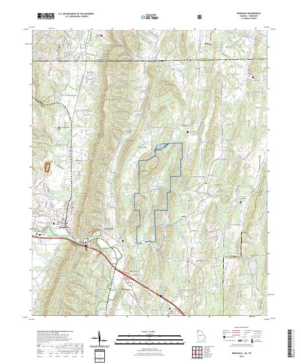
USGS Topo · Published 1971About this map
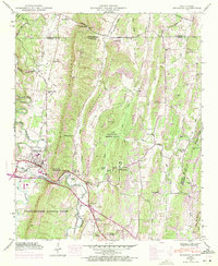
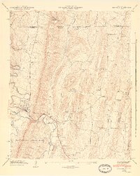
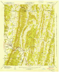
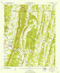
White Oak Mountain and Cherokee Ridge dominate this North Georgia landscape, directing the flow of South Chickamauga Creek and its many tributaries like Hurricane Creek. The 1946 survey, later updated in 1967, captures a rural region defined by its ridge-and-valley topography and a network of country churches including Stone Ch, Lees Chapel, and the Nellie Head Memorial Church.
Find a feature on this map
57 named features on this map. Tap any name to fly to it.
Don’t see what you’re looking for? This feature index may not catch every label — zoom into the map to look around manually.
Map Details
Date Portrayed1946
Date Published1971
PublisherU.S. Geological Survey
Map TypeTopographic
Scale1:24,000
Physical Dimensions22 x 26.8 inches
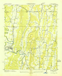
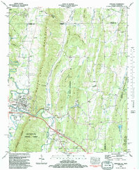
Editions of this 1946 Ringgold Map
5 editions found
Historical Maps of Ringgold Through Time
9 maps found

Featured Locations
Source Details
SourceU.S. Geological Survey
CopyrightPublic Domain