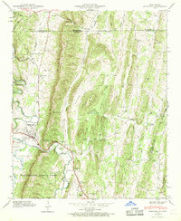
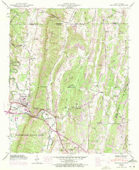
1946 Map of Ringgold
USGS Topo · Published 1970About this map
Ringgold serves as the focal point of this North Georgia survey, situated where the Nashville Chattanooga and St Louis Railway and the Dixie Highway cross the waters of South Chickamauga Creek. The landscape is defined by the prominent north-south ridgelines of White Oak Mountain and Cherokee Ridge, which hem in Cherokee Valley. This mid-century view shows a rural economy transitioning from strictly agricultural to one influenced by the US Military Reservation and the Catoosa Target Range. Local genealogy is well-represented through numerous small community centers, including Shookville and Sugartown, alongside scattered landmarks like Catoosa Springs and Parker Gap Ch. The presence of Union Academy and Pleasant Valley Sch highlights the distribution of educational and social life across the valley before the expansion of modern suburban infrastructure.
Find a feature on this map
49 named features on this map. Tap any name to fly to it.
Don’t see what you’re looking for? This feature index may not catch every label — zoom into the map to look around manually.
Map Details
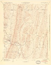
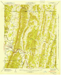
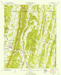
Editions of this 1946 Ringgold Map
5 editions found
Other maps of this area

1886 · Dalton
USGS Topo · 1:125,000

1886 · Cleveland
USGS Topo · 1:125,000

1886 · Ringgold
USGS Topo · 1:125,000

1888 · Chattanooga
USGS Topo · 1:125,000

1892 · Ringgold
USGS Topo · 1:125,000

1892 · Cleveland
USGS Topo · 1:125,000

1892 · Dalton
USGS Topo · 1:125,000

1893 · Chattanooga
USGS Topo · 1:125,000

1895 · Cleveland
USGS Topo · 1:125,000

1897 · Dalton
USGS Topo · 1:125,000