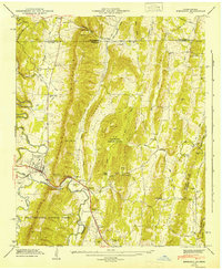
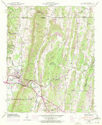
1946 Map of Ringgold
USGS Topo · Published 1947About this map
Ringgold and its surrounding valleys are defined by the prominent ridge of White Oak Mountain, which separates the settled Cherokee Valley from the eastern lowlands immediately after the Second World War. The landscape is characterized by a dense network of small rural communities and institutions, including Shookville, Sugartown, and Union Academy. The Nashville Chattanooga and St Louis railway follows the course of South Chickamauga Creek, providing a vital transit link through the gap. A significant portion of the central terrain is designated as a U S Military Reservation, featuring the Catoosa Target Range. To the south, the boundary of the Chattahoochee National Forest begins, while the northern edge of the map tracks the state line between Tennessee and Georgia. Numerous local landmarks like Stone Ch and Anderson Cem provide specific points of interest for genealogical research in this northern Georgia corridor.
Find a feature on this map
81 named features on this map. Tap any name to fly to it.
Don’t see what you’re looking for? This feature index may not catch every label — zoom into the map to look around manually.
Map Details
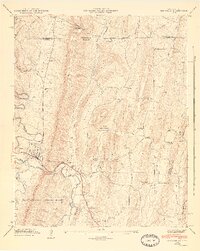
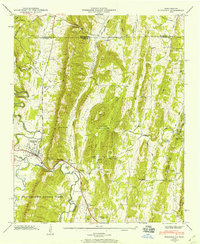
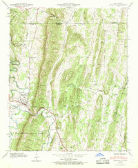
Editions of this 1946 Ringgold Map
5 editions found
Other maps of this area

1886 · Dalton
USGS Topo · 1:125,000

1886 · Cleveland
USGS Topo · 1:125,000

1886 · Ringgold
USGS Topo · 1:125,000

1888 · Chattanooga
USGS Topo · 1:125,000

1892 · Ringgold
USGS Topo · 1:125,000

1892 · Cleveland
USGS Topo · 1:125,000

1892 · Dalton
USGS Topo · 1:125,000

1893 · Chattanooga
USGS Topo · 1:125,000

1895 · Cleveland
USGS Topo · 1:125,000

1897 · Dalton
USGS Topo · 1:125,000