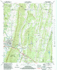
1983 Map of Ringgold
USGS Topo · Published 1988About this map
Ringgold serves as the focal point of this region, situated where the South Chickamauga Cr winds past the steep ridges of White Oak Mountain. The landscape is defined by its north-south trending ridges, including Conley Bluff and Toney Ridge, which separate narrow valleys filled with rural settlements like Shookville, Sugartown, and Keith. The interaction between the natural terrain and transportation is evident where the Seaboard railroad and major highway interchanges cut through the gaps of the Chattahoochee National Forest.
Find a feature on this map
70 named features on this map. Tap any name to fly to it.
Don’t see what you’re looking for? This feature index may not catch every label — zoom into the map to look around manually.
Map Details
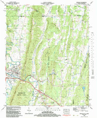
Editions of this 1983 Ringgold Map

Other maps of this area

1886 · Dalton
USGS Topo · 1:125,000

1886 · Cleveland
USGS Topo · 1:125,000

1886 · Ringgold
USGS Topo · 1:125,000

1888 · Chattanooga
USGS Topo · 1:125,000

1892 · Ringgold
USGS Topo · 1:125,000

1892 · Cleveland
USGS Topo · 1:125,000

1892 · Dalton
USGS Topo · 1:125,000

1893 · Chattanooga
USGS Topo · 1:125,000

1895 · Cleveland
USGS Topo · 1:125,000

1897 · Dalton
USGS Topo · 1:125,000