Loading...
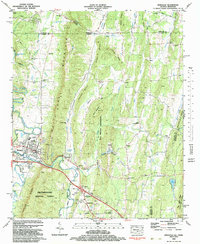
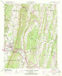
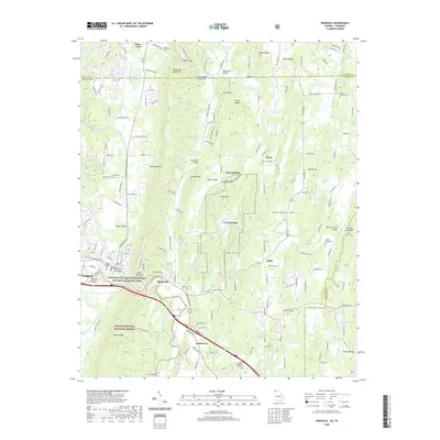
Loading map...1983 Map of Ringgold
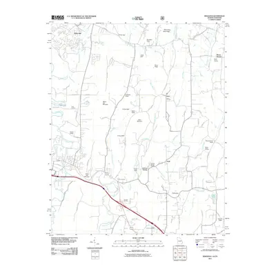
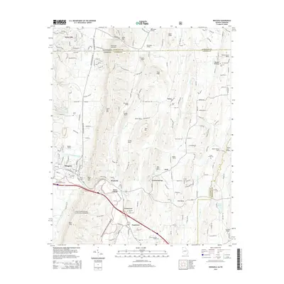
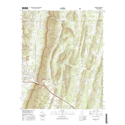
USGS Topo · Published 1983About this map
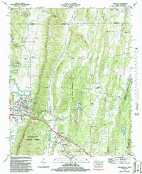
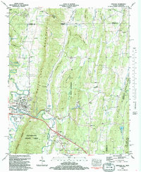
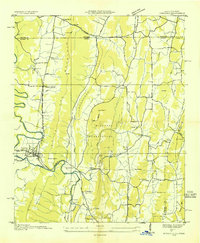
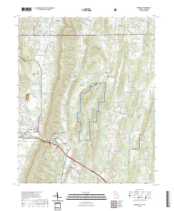
Ringgold serves as the focal point of this Northwest Georgia landscape, situated where the Seaboard railroad and Interstate 75 cross the waters of South Chickamauga Creek. The map documents a complex geography of parallel ridges and valleys, most notably the long spine of White Oak Mountain which separates Cherokee Valley from the more developed western corridors. To the south, the boundary of the Chattahoochee National Forest reaches into the area, while a large U.S. Military Reservation occupies the central hills near Sand Mountain.
Find a feature on this map
72 named features on this map. Tap any name to fly to it.
Don’t see what you’re looking for? This feature index may not catch every label — zoom into the map to look around manually.
Map Details
Date Portrayed1983
Date Published1983
PublisherU.S. Geological Survey
Map TypeTopographic
Scale1:24,000
Physical Dimensions22 x 26.8 inches
Editions of this 1983 Ringgold Map
Historical Maps of Ringgold Through Time
9 maps found

Featured Locations
Source Details
SourceU.S. Geological Survey
CopyrightPublic Domain