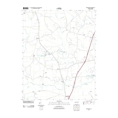
2010 Map of Ringwood
USGS Topo · Published 2010About this map
Hickory and the rural crossroads of Glenview anchor this landscape of the coastal plain, where numerous family cemeteries and drainage systems define the land's history. The area is heavily intersected by named swamps and creeks, including the winding Fishing Creek and the expansive Rocky Swamp, which dictate the placement of early crossings like Culpeppers Bridge and Meltons Bridge. For genealogists, the map is a detailed record of local burial grounds, ranging from the Wiggins Cemetery near the shores of Moss Lake Number One to the Knight Cemeteries and Ethridge Cemetery further east.
Find a feature on this map
62 named features on this map. Tap any name to fly to it.
Don’t see what you’re looking for? This feature index may not catch every label — zoom into the map to look around manually.
Map Details
Editions of this 2010 Ringwood Map
This is the sole edition of this map. No revisions or reprints were ever made.
Other maps of this area

1953 · Norfolk
USGS Topo · 1:250,000

1961 · Whitakers
USGS Topo · 1:24,000

1961 · Enfield
USGS Topo · 1:24,000

1963 · Ringwood
USGS Topo · 1:24,000

1963 · Red Oak
USGS Topo · 1:24,000

1963 · Essex
USGS Topo · 1:24,000

1963 · Drake
USGS Topo · 1:24,000

1973 · Aurelian Springs
USGS Topo · 1:24,000

1973 · Hollister
USGS Topo · 1:24,000

1974 · Darlington
USGS Topo · 1:24,000