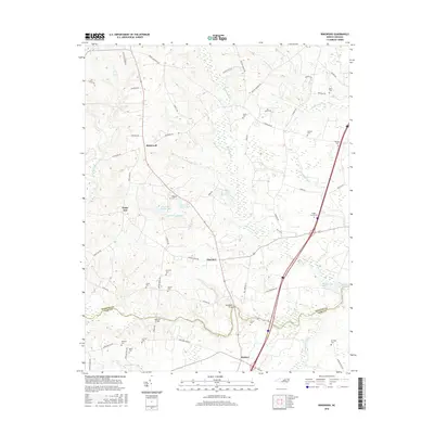
2016 Map of Ringwood
USGS Topo · Published 2016About this map
Fishing Creek and its many meandering tributaries define this portion of the coastal plain on the border of Halifax and Nash Counties. The settlement at Ringwood serves as a central hub for the surrounding rural landscape, which is marked by numerous family burial grounds including the Knight Cemeteries, Lewis Cem, and Kennedy Cem. Historical crossing points such as Culpeppers Bridge and Meltons Bridge remain significant landmarks for navigating the wetlands of Jack Horse Swamp and Jacket Swamp.
Find a feature on this map
66 named features on this map. Tap any name to fly to it.
Don’t see what you’re looking for? This feature index may not catch every label — zoom into the map to look around manually.
Map Details
Editions of this 2016 Ringwood Map
This is the sole edition of this map. No revisions or reprints were ever made.
Other maps of this area

1953 · Norfolk
USGS Topo · 1:250,000

1961 · Whitakers
USGS Topo · 1:24,000

1961 · Enfield
USGS Topo · 1:24,000

1963 · Ringwood
USGS Topo · 1:24,000

1963 · Red Oak
USGS Topo · 1:24,000

1963 · Essex
USGS Topo · 1:24,000

1963 · Drake
USGS Topo · 1:24,000

1973 · Aurelian Springs
USGS Topo · 1:24,000

1973 · Hollister
USGS Topo · 1:24,000

1974 · Darlington
USGS Topo · 1:24,000