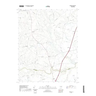
2019 Map of Ringwood
USGS Topo · Published 2019About this map
The Halifax and Nash County line bisects this region of the North Carolina coastal plain, where the landscape is defined by the winding course of Fishing Creek and its many tributary swamps. Small rural settlements like Ringwood, White Oak, and Glenview serve as local hubs for a network of country roads. The area is characterized by low-lying wetlands, including Jack Horse Swamp, Jacket Swamp, and Beeches Swamp, which thread through the wooded terrain. For genealogists and local historians, the map is remarkably detailed with family-named landmarks and burial sites, from Lewis Cem and Gaskins Cem in the north to Ethridge Cem near Hickory in the south. The crossing at Culpeppers Bridge and the elevated ground of Medoc Mountain provide rare verticality in an otherwise level landscape of fields and thickets.
Find a feature on this map
65 named features on this map. Tap any name to fly to it.
Don’t see what you’re looking for? This feature index may not catch every label — zoom into the map to look around manually.
Map Details
Editions of this 2019 Ringwood Map
This is the sole edition of this map. No revisions or reprints were ever made.
Other maps of this area

1953 · Norfolk
USGS Topo · 1:250,000

1961 · Whitakers
USGS Topo · 1:24,000

1961 · Enfield
USGS Topo · 1:24,000

1963 · Ringwood
USGS Topo · 1:24,000

1963 · Red Oak
USGS Topo · 1:24,000

1963 · Essex
USGS Topo · 1:24,000

1963 · Drake
USGS Topo · 1:24,000

1973 · Aurelian Springs
USGS Topo · 1:24,000

1973 · Hollister
USGS Topo · 1:24,000

1974 · Darlington
USGS Topo · 1:24,000