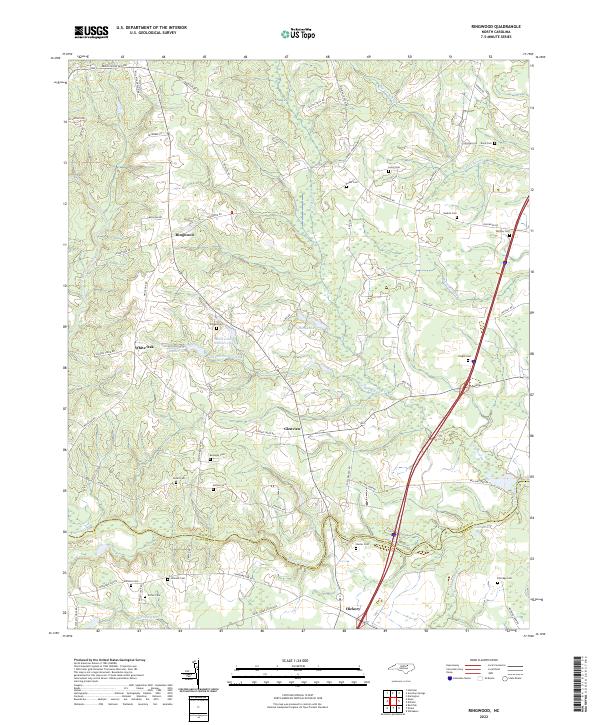
2022 Map of Ringwood
USGS Topo · Published 2022About this map
The boundary between Halifax and Nash counties runs through this rural landscape, which is defined by a dense network of watercourses and wetlands. Significant hydrological features including Jack Horse Swamp, Beeches Swamp, and Beaverdam Swamp weave through the terrain, punctuated by Moss Lake Number One and Moss Lake Number Two. This survey captures the small communities of Ringwood, White Oak, Glenview, and Hickory during a period of modern connectivity, showing where Interstate 95 bisects the eastern portion of the quadrangle.
Find a feature on this map
63 named features on this map. Tap any name to fly to it.
Don’t see what you’re looking for? This feature index may not catch every label — zoom into the map to look around manually.
Map Details
Editions of this 2022 Ringwood Map
This is the sole edition of this map. No revisions or reprints were ever made.
Other maps of this area

1953 · Norfolk
USGS Topo · 1:250,000

1961 · Whitakers
USGS Topo · 1:24,000

1961 · Enfield
USGS Topo · 1:24,000

1963 · Ringwood
USGS Topo · 1:24,000

1963 · Red Oak
USGS Topo · 1:24,000

1963 · Essex
USGS Topo · 1:24,000

1963 · Drake
USGS Topo · 1:24,000

1973 · Aurelian Springs
USGS Topo · 1:24,000

1973 · Hollister
USGS Topo · 1:24,000

1974 · Darlington
USGS Topo · 1:24,000