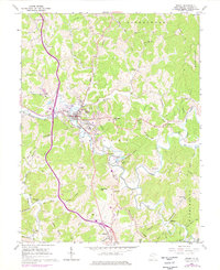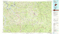
2023 Map of Ripley
USGS Topo · Published 2023About this map
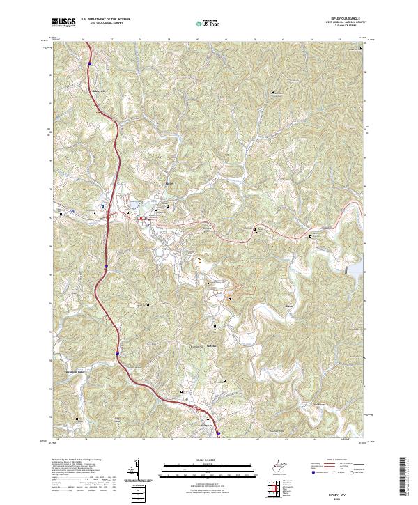
The Jackson County Courthouse serves as the central anchor for Ripley, a community where the convergence of Sycamore Creek and Mill Creek shaped the early layout of Jackson County. This recent survey captures the complex topography of the region, defined by named heights like Hargreave Knob and Salt Hill. Genealogists will find a high density of burial sites across the landscape, including the Old Ripley Cem, Mount Calvary Cem, and the Jordan Cem near Pine Grove Church. The modern infrastructure of the Interstate 77 corridor runs parallel to historic routes like Ravenswood Pike, illustrating the shift from river-valley trails to major transit arteries. Beyond the primary settlements of Fairplain and Shatto, the map details a network of hollows and ridges such as Simpson Hollow and Stone Ridge, where smaller family landmarks like the Waybright Cem remain preserved.
Find a feature on this map
116 named features on this map. Tap any name to fly to it.
Don’t see what you’re looking for? This feature index may not catch every label — zoom into the map to look around manually.
Map Details
Editions of this 2023 Ripley Map
This is the sole edition of this map. No revisions or reprints were ever made.
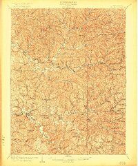
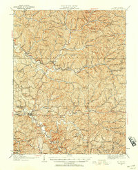
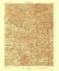
Historical Maps of Fairplain Through Time
6 maps found