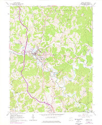
1960 Map of Ripley
USGS Topo · Published 1976About this map
Ripley serves as the central hub of this Jackson County landscape, situated at the confluence of Mill Creek and Sycamore Creek. The 1960s environment is defined by its ridge-and-valley settlement patterns, where numerous family-named landmarks and rural institutions line the winding hollows. To the south, the Cedar Lakes State Recreation Center anchors the terrain near Shatto, while the Baltimore and Ohio rail line cuts through the western hills near Sidneyville.
Find a feature on this map
72 named features on this map. Tap any name to fly to it.
Don’t see what you’re looking for? This feature index may not catch every label — zoom into the map to look around manually.
Map Details
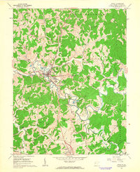
Editions of this 1960 Ripley Map
2 editions found
Other maps of this area

1906 · Kenna
USGS Topo · 1:62,500

1906 · Winfield
USGS Topo · 1:62,500

1907 · Kenna
USGS Topo · 1:62,500

1907 · Ripley
USGS Topo · 1:62,500

1908 · Winfield
USGS Topo · 1:62,500

1908 · Ravenswood
USGS Topo · 1:62,500

1926 · Ravenswood
USGS Topo · 1:62,500

1926 · Ripley
USGS Topo · 1:62,500

1928 · Ravenswood
USGS Topo · 1:62,500

1928 · Ripley
USGS Topo · 1:62,500