
1908 Map of Winfield
USGS Topo · Published 1908About this map
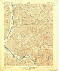
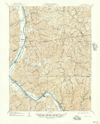
The Kanawha River dictates the settlement pattern of this 1906 survey, with river-borne commerce and transportation shaping the development of the county seat at Winfield and smaller landings like Grimms Landing. The industrial footprint of the early 1900s is visible in the alignment of the Michigan and Kanawha R R following the riverbank, and the critical river engineering at Lock No 10 and Lock No 9. Away from the main waterway, the terrain transitions into the complex drainage systems of Eighteenmile Creek and the Pocatalico River. Local family names and small upland communities like Confidence, Paradise, and Black Betsey provide a detailed view of Putnam County before modern highway expansion. The presence of Teays Valley in the south highlights the ancient geological corridor that has long influenced movement through this part of West Virginia.
Find a feature on this map
65 named features on this map. Tap any name to fly to it.
Don’t see what you’re looking for? This feature index may not catch every label — zoom into the map to look around manually.
Map Details
Editions of this 1908 Winfield Map
3 editions found
Other maps of this area

1892 · Huntington
USGS Topo · 1:125,000

1898 · Huntington
USGS Topo · 1:125,000

1899 · Charleston
USGS Topo · 1:125,000

1902 · Milton
USGS Topo · 1:62,500

1906 · Glenwood
USGS Topo · 1:62,500

1906 · Kenna
USGS Topo · 1:62,500

1906 · Winfield
USGS Topo · 1:62,500

1907 · Kenna
USGS Topo · 1:62,500

1907 · Ripley
USGS Topo · 1:62,500

1908 · Glenwood
USGS Topo · 1:62,500