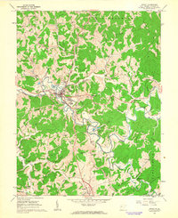
1960 Map of Ripley
USGS Topo · Published 1963About this map
Ripley serves as the central hub of this 1960 survey, situated where the Baltimore and Ohio railroad corridor meets the winding path of Mill Creek. The landscape is defined by a dense network of ridges and narrow valleys, such as Stone Ridge and Angel Ridge, which dictated the early settlement patterns of Jackson County. To the southeast, the Cedar Lakes State Recreation Center occupies a large bend in the creek, featuring several landmarks including a Water Tank and Mt Calvary Cem.
Find a feature on this map
72 named features on this map. Tap any name to fly to it.
Don’t see what you’re looking for? This feature index may not catch every label — zoom into the map to look around manually.
Map Details
Editions of this 1960 Ripley Map
2 editions found
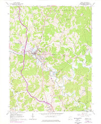
Other maps of this area

1906 · Kenna
USGS Topo · 1:62,500

1906 · Winfield
USGS Topo · 1:62,500

1907 · Kenna
USGS Topo · 1:62,500

1907 · Ripley
USGS Topo · 1:62,500

1908 · Winfield
USGS Topo · 1:62,500

1908 · Ravenswood
USGS Topo · 1:62,500

1926 · Ravenswood
USGS Topo · 1:62,500

1926 · Ripley
USGS Topo · 1:62,500

1928 · Ravenswood
USGS Topo · 1:62,500

1928 · Ripley
USGS Topo · 1:62,500