
1928 Map of Ravenswood
USGS Topo · Published 1928About this map
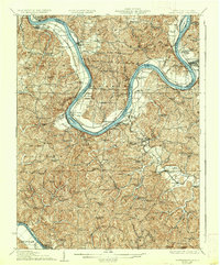
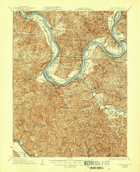
The Ohio River carves a dramatic oxbow known as the Great Bend in this 1920s survey, dictating the development of riverside communities like Ravenswood and Letart Falls. The landscape is defined by the logistics of the era, where the Baltimore & Ohio RR follows the riverbanks and engineering landmarks like Lock No 24 and Lock No 23 facilitate river traffic. Inland, the rugged terrain of Jackson and Mason Counties is dotted with an exceptionally high density of rural institutions, such as the Mountain Flower School, Red Mud School, and Jackson Chapel. This distribution of one-room schoolhouses and country churches reflects a dispersed agricultural society before mid-century school consolidations. Along the southern edge, the Kanawha & Michigan RR skirts the Kanawha River, connecting small settlements like Gnuville and Baden to the broader regional economy.
Find a feature on this map
131 named features on this map. Tap any name to fly to it.
Don’t see what you’re looking for? This feature index may not catch every label — zoom into the map to look around manually.
Map Details
Editions of this 1928 Ravenswood Map
3 editions found
Other maps of this area

1906 · Belleville
USGS Topo · 1:62,500

1906 · Glenwood
USGS Topo · 1:62,500

1906 · Kenna
USGS Topo · 1:62,500

1906 · Winfield
USGS Topo · 1:62,500

1907 · Kenna
USGS Topo · 1:62,500

1907 · Pomeroy
USGS Topo · 1:62,500

1907 · Keno
USGS Topo · 1:62,500

1907 · Ripley
USGS Topo · 1:62,500

1908 · Glenwood
USGS Topo · 1:62,500

1908 · Winfield
USGS Topo · 1:62,500