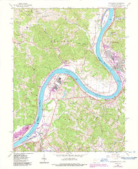
1960 Map of Ravenswood
USGS Topo · Published 1987About this map
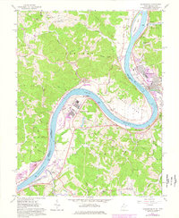
The Ohio River dominates this landscape, winding in a dramatic oxbow around the industrial site of the Ravenswood Works and the County Airport. Established along the riverbank in Ravenswood, the town serves as a hub for both the CSX railroad and the river trade. The 1960 survey reflects a period of industrial growth contrasted with deeply rooted rural communities across the river in Lebanon and Sutton.
Find a feature on this map
63 named features on this map. Tap any name to fly to it.
Don’t see what you’re looking for? This feature index may not catch every label — zoom into the map to look around manually.
Map Details
Editions of this 1960 Ravenswood Map
5 editions found
Other maps of this area

1906 · Belleville
USGS Topo · 1:62,500

1907 · Keno
USGS Topo · 1:62,500

1907 · Ripley
USGS Topo · 1:62,500

1908 · Ravenswood
USGS Topo · 1:62,500

1924 · Belleville
USGS Topo · 1:62,500

1926 · Ravenswood
USGS Topo · 1:62,500

1926 · Belleville
USGS Topo · 1:62,500

1926 · Ripley
USGS Topo · 1:62,500

1928 · Ravenswood
USGS Topo · 1:62,500

1928 · Ripley
USGS Topo · 1:62,500