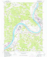
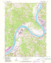
1960 Map of Ravenswood
USGS Topo · Published 1976About this map
The Ohio River carves a dramatic path through the landscape of Jackson County, framing the industrial and rural life of the mid-1970s. The massive Ravenswood Works dominates a bend in the river, signaling the industrial importance of the region alongside the long-standing tracks of the Baltimore and Ohio railroad. North of the works, the river curls around the Great Bend and passes the historic Buffington Island, while the inland terrain is defined by family-named ridges like McKenzie Ridge and Lathem Ridge.
Find a feature on this map
76 named features on this map. Tap any name to fly to it.
Don’t see what you’re looking for? This feature index may not catch every label — zoom into the map to look around manually.
Map Details
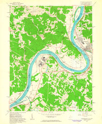
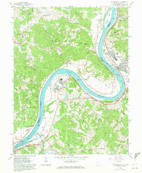
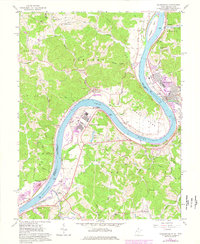
Editions of this 1960 Ravenswood Map
5 editions found
Other maps of this area

1906 · Belleville
USGS Topo · 1:62,500

1907 · Keno
USGS Topo · 1:62,500

1907 · Ripley
USGS Topo · 1:62,500

1908 · Ravenswood
USGS Topo · 1:62,500

1924 · Belleville
USGS Topo · 1:62,500

1926 · Ravenswood
USGS Topo · 1:62,500

1926 · Belleville
USGS Topo · 1:62,500

1926 · Ripley
USGS Topo · 1:62,500

1928 · Ravenswood
USGS Topo · 1:62,500

1928 · Ripley
USGS Topo · 1:62,500