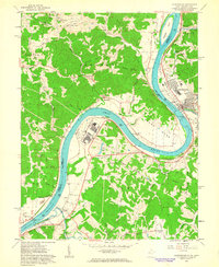
1960 Map of Ravenswood
USGS Topo · Published 1963About this map
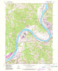
The Ohio River dictates the landscape of this 1960 survey, making a dramatic turn at Great Bend and separating West Virginia from Ohio. The industrial presence of the Ravenswood Works stands in contrast to the rural ridge-and-hollow topography of Lebanon and Union districts. Along the eastern shore, the Baltimore and Ohio Railroad parallels the river, serving the town of Ravenswood and facilitating the movement of goods past landmarks like Buffington Island.
Find a feature on this map
83 named features on this map. Tap any name to fly to it.
Don’t see what you’re looking for? This feature index may not catch every label — zoom into the map to look around manually.
Map Details
Editions of this 1960 Ravenswood Map
5 editions found
Other maps of this area

1906 · Belleville
USGS Topo · 1:62,500

1907 · Keno
USGS Topo · 1:62,500

1907 · Ripley
USGS Topo · 1:62,500

1908 · Ravenswood
USGS Topo · 1:62,500

1924 · Belleville
USGS Topo · 1:62,500

1926 · Ravenswood
USGS Topo · 1:62,500

1926 · Belleville
USGS Topo · 1:62,500

1926 · Ripley
USGS Topo · 1:62,500

1928 · Ravenswood
USGS Topo · 1:62,500

1928 · Ripley
USGS Topo · 1:62,500