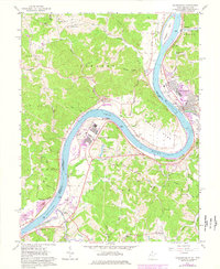
1960 Map of Ravenswood
USGS Topo · Published 1978About this map
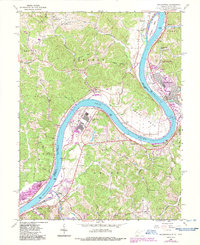
The Ohio River defines this landscape as it meanders past Ravenswood, illustrating a period of significant industrial transition. The map captures the massive footprint of the Ravenswood Works and its associated infrastructure, including a Substation and Sewage Disposal plant, which stands in contrast to the rural character of nearby Oldtown Flats. This area was historically shaped by river navigation and rail transport, evidenced by the Baltimore And Ohio railroad line hugging the West Virginia bank and landmarks like Buffington Island and Ripley Landing.
Find a feature on this map
71 named features on this map. Tap any name to fly to it.
Don’t see what you’re looking for? This feature index may not catch every label — zoom into the map to look around manually.
Map Details
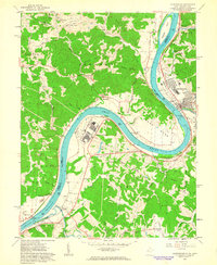
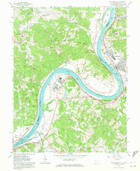
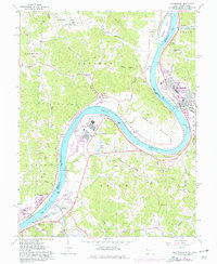
Editions of this 1960 Ravenswood Map
5 editions found
Other maps of this area

1906 · Belleville
USGS Topo · 1:62,500

1907 · Keno
USGS Topo · 1:62,500

1907 · Ripley
USGS Topo · 1:62,500

1908 · Ravenswood
USGS Topo · 1:62,500

1924 · Belleville
USGS Topo · 1:62,500

1926 · Ravenswood
USGS Topo · 1:62,500

1926 · Belleville
USGS Topo · 1:62,500

1926 · Ripley
USGS Topo · 1:62,500

1928 · Ravenswood
USGS Topo · 1:62,500

1928 · Ripley
USGS Topo · 1:62,500