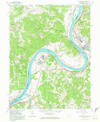
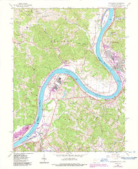
1960 Map of Ravenswood
USGS Topo · Published 1972About this map
Baltimore and Ohio rail lines track the sweeping curves of the Ohio River as it defines the border between West Virginia and Ohio. This 1960 survey highlights the industrial footprint of the Ravenswood Works at the river's bend, standing in contrast to the numerous country cemeteries and small churches that anchor the surrounding hills. Genealogists will find interest in localized burial sites such as Stanley Cem, Ottobine Cem, and Martin Cem, which represent generations of settlement in the Union and Lebanon districts. The river itself remains a central artery of activity, featuring Buffington Island and critical infrastructure like Lock and Dam No 22. Small landings and settlements including Millwood and Apple Grove follow the water, while upland areas like Pleasant View Ridge are dotted with landmarks like Morse Chapel.
Find a feature on this map
82 named features on this map. Tap any name to fly to it.
Don’t see what you’re looking for? This feature index may not catch every label — zoom into the map to look around manually.
Map Details
Editions of this 1960 Ravenswood Map
5 editions found
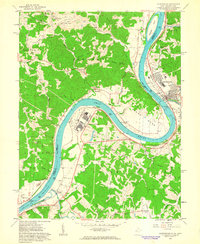
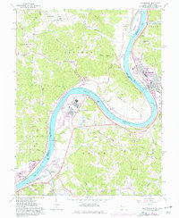
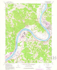
Other maps of this area

1906 · Belleville
USGS Topo · 1:62,500

1907 · Keno
USGS Topo · 1:62,500

1907 · Ripley
USGS Topo · 1:62,500

1908 · Ravenswood
USGS Topo · 1:62,500

1924 · Belleville
USGS Topo · 1:62,500

1926 · Ravenswood
USGS Topo · 1:62,500

1926 · Belleville
USGS Topo · 1:62,500

1926 · Ripley
USGS Topo · 1:62,500

1928 · Ravenswood
USGS Topo · 1:62,500

1928 · Ripley
USGS Topo · 1:62,500