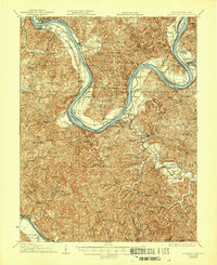
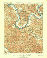
1928 Map of Ravenswood
USGS Topo · Published 1944About this map
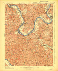
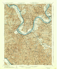
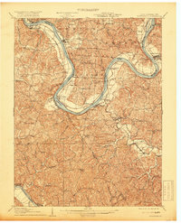
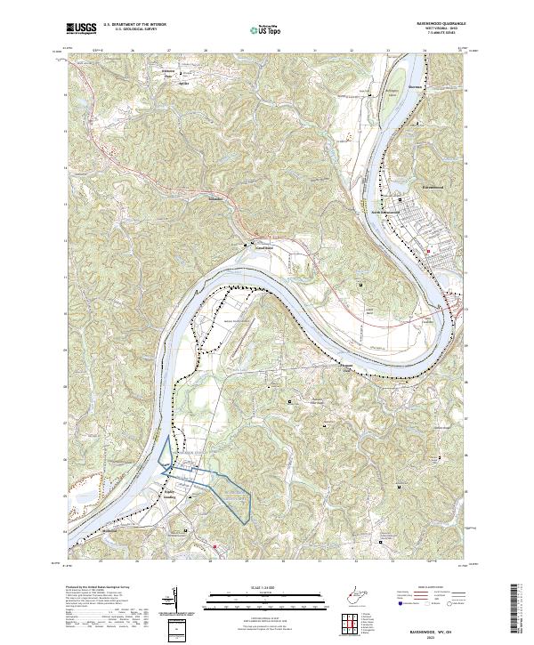
The Ohio River carves a dramatic path through this 1920s landscape, most notably at the Great Meigs Bend and the Great Bend. These sharp river loops define the border between West Virginia and Ohio, framing a region defined by river navigation and rural education. Steamboat-era infrastructure is evident in Lock No 24 and Lock No 23, while the B & O RR parallels the riverbank, connecting river towns like Ravenswood and New Haven. The interior of Jackson Co and Mason Co is densely packed with community landmarks, particularly an extensive network of rural schools such as the Red Mud School and Avalanche School. This survey reflects a time when small, localized schools and churches like White Church and Bethel Church served as the primary social anchors for a population scattered across the ridges and creeks of the Appalachian foothills.
Find a feature on this map
98 named features on this map. Tap any name to fly to it.
Don’t see what you’re looking for? This feature index may not catch every label — zoom into the map to look around manually.
Map Details
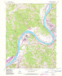
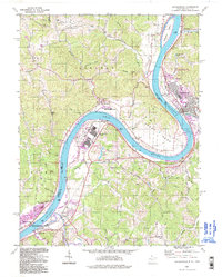
Editions of this 1928 Ravenswood Map
3 editions found
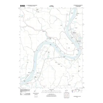
Historical Maps of Ravenswood Through Time
10 maps found
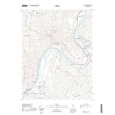
1908 Ravenswood
Jackson County, WV
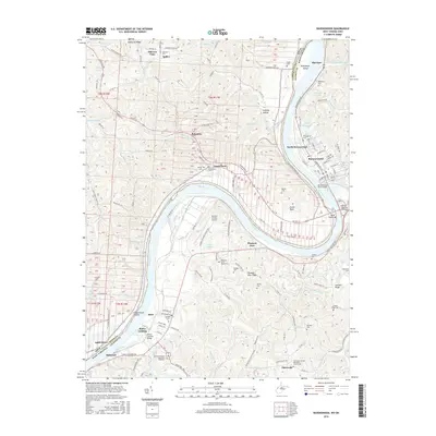
1926 Ravenswood
Jackson County, WV
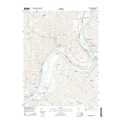
1928 Ravenswood
Jackson County, WV
1960 Ravenswood
Jackson County, WV
1994 Ravenswood
Jackson County, WV
2011 Ravenswood
Jackson County, WV
2014 Ravenswood
Jackson County, WV
2016 Ravenswood
Jackson County, WV
2019 Ravenswood
Jackson County, WV
2023 Ravenswood
Jackson County, WV