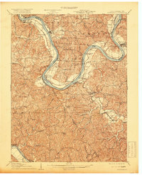
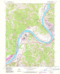
1908 Map of Ravenswood
USGS Topo · Published 1919About this map
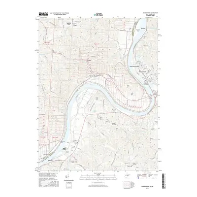
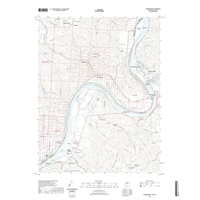
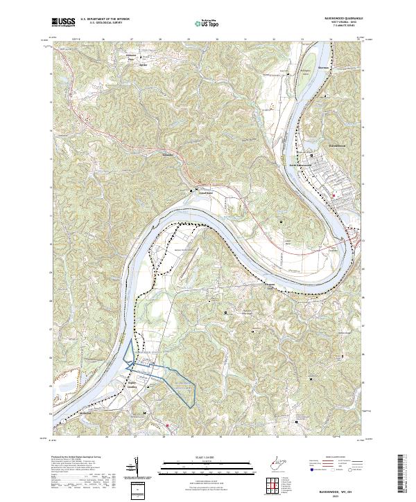
The Ohio River dominates this landscape as it carves a dramatic oxbow through the borderlands of West Virginia and Ohio. This early 20th-century survey documents a river-driven economy before the widespread construction of modern locks and dams, where settlements like Letart Falls and Ravenswood served as vital nodes for transport and trade. The Baltimore and Ohio RR hugs the riverbank, connecting industrial centers such as Syracuse and New Haven to the broader regional network.
Find a feature on this map
82 named features on this map. Tap any name to fly to it.
Don’t see what you’re looking for? This feature index may not catch every label — zoom into the map to look around manually.
Map Details
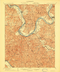
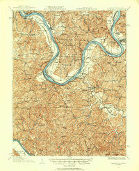
Editions of this 1908 Ravenswood Map
2 editions found
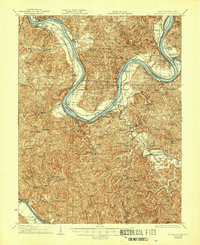
Historical Maps of Ravenswood Through Time
10 maps found
1908 Ravenswood
Jackson County, WV
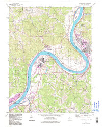
1926 Ravenswood
Jackson County, WV
1928 Ravenswood
Jackson County, WV
1960 Ravenswood
Jackson County, WV
1994 Ravenswood
Jackson County, WV
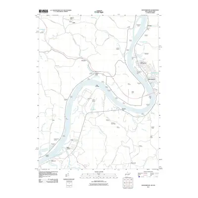
2011 Ravenswood
Jackson County, WV
2014 Ravenswood
Jackson County, WV
2016 Ravenswood
Jackson County, WV
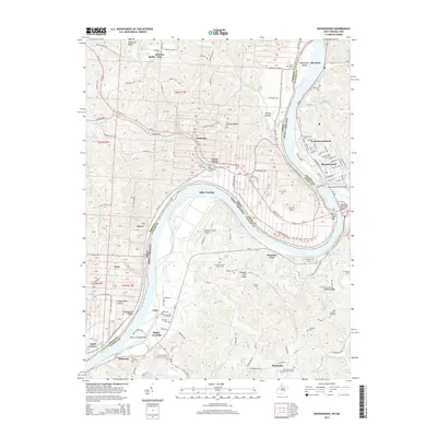
2019 Ravenswood
Jackson County, WV
2023 Ravenswood
Jackson County, WV