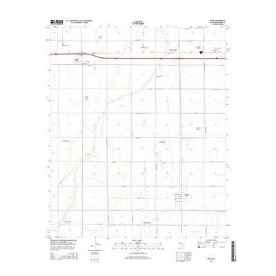
2015 Map of Ripley
USGS Topo · Published 2015About this map
Palo Verde Valley agricultural development defines this portion of Riverside County, where a complex network of irrigation and drainage infrastructure transformed the desert floor. The settlement of Ripley sits at the heart of this grid, surrounded by vital waterways such as the Township Drain, W Canal, and C-05 Canal that sustain the local farming economy. To the north, the city of Blythe marks the transition toward the Blythe Airport and the elevated Palo Verde Mesa. The landscape is a study in precision engineering, featuring a strictly regularized road system including Arrowhead Blvd and 28th Ave. Natural features like Cinnabar Wash and the Palo Verde Lagoon provide a stark contrast to the surrounding man-made drains like Browns Drain and Palo Verde Drain, which serve the low-lying valley lands near the Colorado River corridor.
Find a feature on this map
58 named features on this map. Tap any name to fly to it.
Don’t see what you’re looking for? This feature index may not catch every label — zoom into the map to look around manually.
Map Details
Editions of this 2015 Ripley Map
This is the sole edition of this map. No revisions or reprints were ever made.
Other maps of this area

1942 · Blythe
USGS Topo · 1:250,000

1945 · Cibola
USGS Topo · 1:62,500

1951 · Blythe
USGS Topo · 1:24,000

1951 · McCoy Wash
USGS Topo · 1:24,000

1951 · Blythe NE
USGS Topo · 1:24,000

1951 · Cibola
USGS Topo · 1:62,500

1952 · Mule Wash
USGS Topo · 1:24,000

1952 · Mc Coy Spring
USGS Topo · 1:62,500

1952 · Palo Verde
USGS Topo · 1:24,000

1952 · Ripley
USGS Topo · 1:24,000