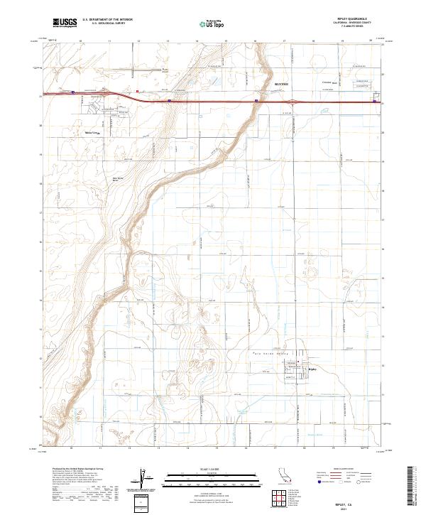
2021 Map of Ripley
USGS Topo · Published 2021About this map
Palo Verde Valley agricultural lands dominate this 2021 survey, showing a landscape defined by an extensive network of irrigation and drainage infrastructure. This system, including the W Canal, C-05 Canal, and Rannells Drain, supports the region's desert farming economy. The settlement of Ripley is situated in the southeastern corner, while the southern edge of Blythe and the Blythe Airport are visible to the north.
Find a feature on this map
66 named features on this map. Tap any name to fly to it.
Don’t see what you’re looking for? This feature index may not catch every label — zoom into the map to look around manually.
Map Details
Editions of this 2021 Ripley Map
This is the sole edition of this map. No revisions or reprints were ever made.
Other maps of this area

1942 · Blythe
USGS Topo · 1:250,000

1945 · Cibola
USGS Topo · 1:62,500

1951 · Blythe
USGS Topo · 1:24,000

1951 · McCoy Wash
USGS Topo · 1:24,000

1951 · Blythe NE
USGS Topo · 1:24,000

1951 · Cibola
USGS Topo · 1:62,500

1952 · Mule Wash
USGS Topo · 1:24,000

1952 · Mc Coy Spring
USGS Topo · 1:62,500

1952 · Palo Verde
USGS Topo · 1:24,000

1952 · Ripley
USGS Topo · 1:24,000