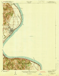
2022 Map of Rising Sun
USGS Topo · Published 2022About this map
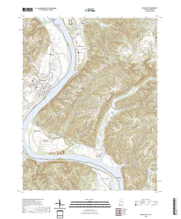
The Ohio River carves a deep valley through this borderland, separating the town of Rising Sun in Indiana from the rural hills of Kentucky. The landscape is defined by its many cemeteries and burial grounds, such as the Fulton Burying Ground and Cedar Hedge Cem, which provide significant points of interest for genealogists tracing local families. Along the river's eastern banks, small communities like Rabbit Hash and Belleview sit near the mouths of winding waterways like Lick Creek and Gunpowder Creek.
Find a feature on this map
121 named features on this map. Tap any name to fly to it.
Don’t see what you’re looking for? This feature index may not catch every label — zoom into the map to look around manually.
Map Details
Editions of this 2022 Rising Sun Map
This is the sole edition of this map. No revisions or reprints were ever made.
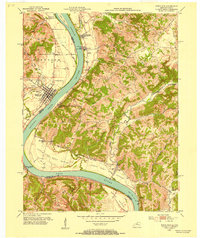
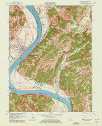
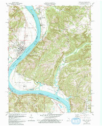
Historical Maps of Rabbit Hash Through Time
5 maps found