Loading...
Loading map...2023 Map of Rittman
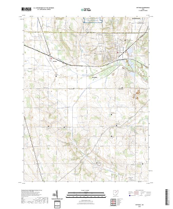
USGS Topo · Published 2023About this map
The boundary between Medina and Wayne counties runs through the northern portion of this landscape, anchoring a region defined by agricultural heritage and a dense network of country burial grounds. The city of Rittman serves as a central hub, where the Whitman Ditch and Little Chippewa Creek converge. To the northwest, the settlement of Sterling sits near the Steele Ditch, reflecting the historical importance of drainage and water management in developing these fertile Ohio lands.
Find a feature on this map
108 named features on this map. Tap any name to fly to it.
Don’t see what you’re looking for? This feature index may not catch every label — zoom into the map to look around manually.
Map Details
Date Portrayed2023
Date Published2023
PublisherU.S. Geological Survey
Map TypeTopographic
Scale1:24000
Physical Dimensions24 x 29 inches
Editions of this 2023 Rittman Map
This is the sole edition of this map. No revisions or reprints were ever made.
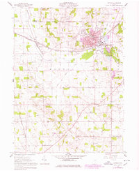
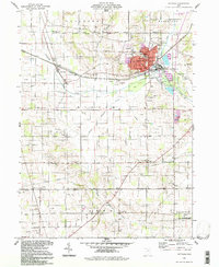
Historical Maps of Wayne County Through Time
Featured Locations
Source Details
SourceU.S. Geological Survey
CopyrightPublic Domain