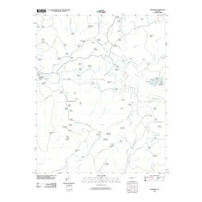
2010 Map of Riverside
USGS Topo · Published 2010About this map
The Buffalo River and Little Buffalo River carve a complex landscape of ridges and hollows in this 2010 survey of Lewis County. The area’s industrial heritage is etched into the terrain through a dense network of mining sites, including the Allens Creek Mines, Percy Mines, and numerous prospects like the Christian Prospect Number One and Nixon Craig Prospect. These features, coupled with the presence of Slag Pile Pond and the Rockhouse Railroad Rd, suggest a long history of resource extraction and transport.
Find a feature on this map
149 named features on this map. Tap any name to fly to it.
Don’t see what you’re looking for? This feature index may not catch every label — zoom into the map to look around manually.
Map Details
Editions of this 2010 Riverside Map
This is the sole edition of this map. No revisions or reprints were ever made.
Other maps of this area

1901 · Colombia
USGS Topo · 1:125,000

1905 · Waynesboro
USGS Topo · 1:125,000

1936 · Riverside
USGS Topo · 1:24,000

1936 · Graves Spring
USGS Topo · 1:24,000

1936 · Deerfield
USGS Topo · 1:24,000

1936 · Henryville
USGS Topo · 1:24,000

1936 · Negro Hollow
USGS Topo · 1:24,000

1936 · Kimmins
USGS Topo · 1:24,000

1936 · Topsy
USGS Topo · 1:24,000

1936 · Gordonsburg
USGS Topo · 1:24,000