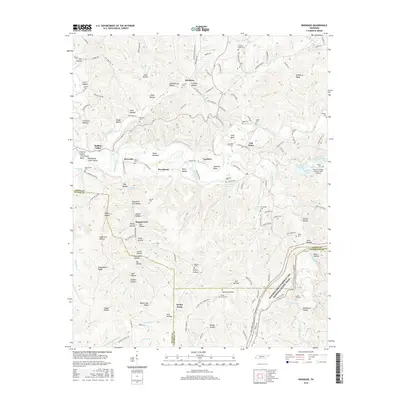
2016 Map of Riverside
USGS Topo · Published 2016About this map
The Buffalo River and Little Buffalo River converge in this Tennessee landscape, shaping a terrain defined by deep hollows and prominent ridges. Small communities like Riverside, Ruppertown, and Voorhies are scattered among these narrow valleys, reflecting a settlement pattern tied to the waterways and gap-access through Waynesboro Ridge. The map documents a high density of family and community burial sites, including Dabbs Cem, Churchwell Cem, and Banks Cem, which provide significant points of interest for genealogists tracing regional lineages.
Find a feature on this map
166 named features on this map. Tap any name to fly to it.
Don’t see what you’re looking for? This feature index may not catch every label — zoom into the map to look around manually.
Map Details
Editions of this 2016 Riverside Map
This is the sole edition of this map. No revisions or reprints were ever made.
Other maps of this area

1901 · Colombia
USGS Topo · 1:125,000

1905 · Waynesboro
USGS Topo · 1:125,000

1936 · Riverside
USGS Topo · 1:24,000

1936 · Graves Spring
USGS Topo · 1:24,000

1936 · Deerfield
USGS Topo · 1:24,000

1936 · Henryville
USGS Topo · 1:24,000

1936 · Negro Hollow
USGS Topo · 1:24,000

1936 · Kimmins
USGS Topo · 1:24,000

1936 · Topsy
USGS Topo · 1:24,000

1936 · Gordonsburg
USGS Topo · 1:24,000