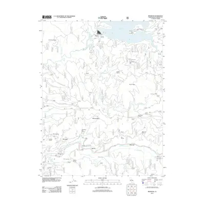
2012 Map of Riverton
USGS Topo · Published 2012About this map
The S Fork American River corridor anchors this El Dorado County landscape, serving as a vital artery for both infrastructure and recreation. Historically significant sites like Riverton and White Hall are situated along the riverbank, where the El Dorado Ditch follows the contours of the valley, signaling the area's legacy of water management and industrial development. The northern reaches of the map are dominated by the Union Valley Reservoir and its associated Union Valley Powerhouse near Raffetto. Evidence of the region's earlier timber and land-use history appears in labels such as Blair Mill and family-named landmarks like McConnel Place and Potts Cabin. High-elevation fire monitoring is represented by the Big Hill Lookout Tower atop Big Hill, overlooking a terrain marked by deep ravines like Windmiller Ravine and the broad Peavine Ridge.
Find a feature on this map
135 named features on this map. Tap any name to fly to it.
Don’t see what you’re looking for? This feature index may not catch every label — zoom into the map to look around manually.
Map Details
Editions of this 2012 Riverton Map
This is the sole edition of this map. No revisions or reprints were ever made.
Other maps of this area

1889 · Pyramid Peak
USGS Topo · 1:125,000

1891 · Placerville
USGS Topo · 1:125,000

1891 · Pyramid Peak
USGS Topo · 1:125,000

1892 · Placerville
USGS Topo · 1:125,000

1893 · Placerville
USGS Topo · 1:125,000

1895 · Pyramid Peak
USGS Topo · 1:125,000

1896 · Pyramid Peak
USGS Topo · 1:125,000

1947 · Sacramento
USGS Topo · 1:250,000

1948 · Sacramento
USGS Topo · 1:250,000

1950 · Riverton
USGS Topo · 1:24,000