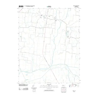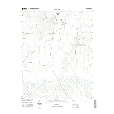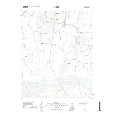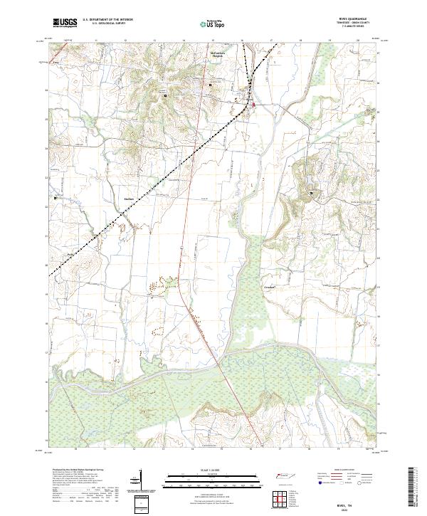
2022 Map of Rives
USGS Topo · Published 2022About this map
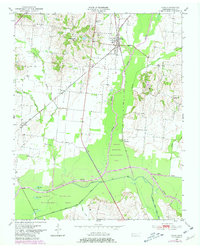
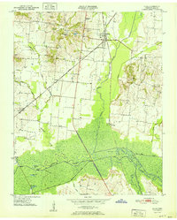
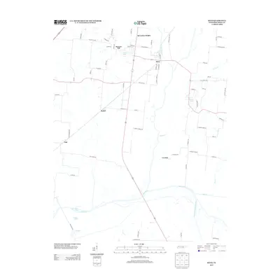
The North Fork Obion River and Rutherford Fork Obion River converge in this corner of Obion County, creating an intricate system of wetlands and oxbow lakes. The drainage pattern is defined by features like Horseshoe Lake, Long Lake, and Big Lake, which reveal the natural shifts of the river channel over time. Between these waterways, small agricultural communities such as Rives, Moffatt, and Polk are linked by a grid of rural roads named for local families, including Fennell Rd and Leggett Rd.
Find a feature on this map
78 named features on this map. Tap any name to fly to it.
Don’t see what you’re looking for? This feature index may not catch every label — zoom into the map to look around manually.
Map Details
Editions of this 2022 Rives Map
This is the sole edition of this map. No revisions or reprints were ever made.
Historical Maps of Troy Through Time
7 maps found