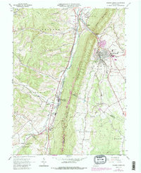
1963 Map of Roaring Spring
USGS Topo · Published 1987About this map
The industrial and agricultural corridor of the Frankstown Branch Juniata River valley is the centerpiece of this mid-century Pennsylvania study. Centered on Roaring Spring, the landscape is defined by the steep ridges of Dunning Mountain and Short Mountain, which channel local development along the narrow valley floors. The map details the transition from traditional rail-based industry to modern infrastructure, showing the Conrail and CSX lines alongside a complex network of pipelines and quarries.
Find a feature on this map
69 named features on this map. Tap any name to fly to it.
Don’t see what you’re looking for? This feature index may not catch every label — zoom into the map to look around manually.
Map Details
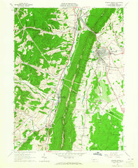
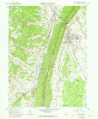
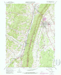
Editions of this 1963 Roaring Spring Map
4 editions found
Other maps of this area

1900 · Everett
USGS Topo · 1:62,500

1902 · Everett
USGS Topo · 1:62,500

1902 · Ebensburg
USGS Topo · 1:62,500

1902 · Hollidaysburg
USGS Topo · 1:62,500

1903 · Hollidaysburg
USGS Topo · 1:62,500

1904 · Ebensburg
USGS Topo · 1:62,500

1908 · Bedford
USGS Topo · 1:62,500

1910 · Bedford
USGS Topo · 1:62,500

1953 · Pittsburgh
USGS Topo · 1:250,000

1954 · Pittsburgh
USGS Topo · 1:250,000
Featured Places
- Roaring Spring, PA
- Freedom Township, PA
- Greenfield Township, PA
- Brooks Mill, Blair Township
- Woodbury Township, PA