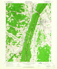
1963 Map of Roaring Spring
USGS Topo · Published 1965About this map
Dunning Mountain and Short Mountain dominate the central landscape of this 1960s survey, creating a dramatic physical divide between the industrial and agricultural valley settlements of Blair and Bedford counties. The town of Roaring Spring serves as a major hub, featuring Nason Hospital, an Athletic Field, and the Radio Tower (WKMC). The area's industrial character is marked by numerous Quarries, Kilns, and a Conveyor system near Claysburg, while the Frankstown Branch Juniata River and the Pennsylvania railroad line facilitate the movement of goods through the gaps.
Find a feature on this map
62 named features on this map. Tap any name to fly to it.
Don’t see what you’re looking for? This feature index may not catch every label — zoom into the map to look around manually.
Map Details
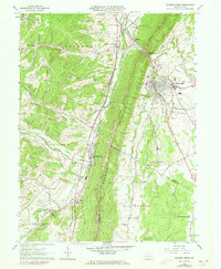
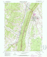
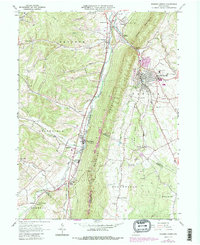
Editions of this 1963 Roaring Spring Map
4 editions found
Other maps of this area

1900 · Everett
USGS Topo · 1:62,500

1902 · Everett
USGS Topo · 1:62,500

1902 · Ebensburg
USGS Topo · 1:62,500

1902 · Hollidaysburg
USGS Topo · 1:62,500

1903 · Hollidaysburg
USGS Topo · 1:62,500

1904 · Ebensburg
USGS Topo · 1:62,500

1908 · Bedford
USGS Topo · 1:62,500

1910 · Bedford
USGS Topo · 1:62,500

1953 · Pittsburgh
USGS Topo · 1:250,000

1954 · Pittsburgh
USGS Topo · 1:250,000
Featured Places
- Roaring Spring, PA
- Freedom Township, PA
- Greenfield Township, PA
- Brooks Mill, Blair Township
- Woodbury Township, PA