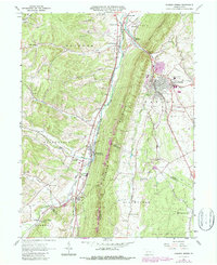
1963 Map of Roaring Spring
USGS Topo · Published 1987About this map
Dunning Mountain and Short Mountain dominate the topography of this central Pennsylvania region, creating a narrow valley corridor where the Frankstown Branch Juniata River flows northward. The industrial character of the 1960s is evident in the numerous quarries dotting the ridges and the kilns located near Sproul. Local life centers on established communities like Roaring Spring, where the Nason Hospital and Township Sch serve the population. This area is characterized by a dense network of mountain runs, such as Polecat Run and Smoky Run, which feed into the larger river system. Cultural landmarks like the Chimney Rock Beagle Club and the Iron Masters Country Club suggest a mix of traditional outdoor recreation and emerging social spaces. For genealogists, the map preserves the locations of several rural houses of worship, including Ebenezer Ch and Albright Ch, alongside legacy burial grounds like Vicksburg Cem.
Find a feature on this map
64 named features on this map. Tap any name to fly to it.
Don’t see what you’re looking for? This feature index may not catch every label — zoom into the map to look around manually.
Map Details
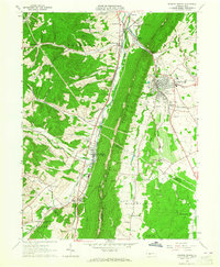
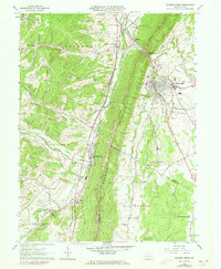
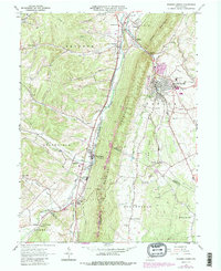
Editions of this 1963 Roaring Spring Map
4 editions found
Other maps of this area

1900 · Everett
USGS Topo · 1:62,500

1902 · Everett
USGS Topo · 1:62,500

1902 · Ebensburg
USGS Topo · 1:62,500

1902 · Hollidaysburg
USGS Topo · 1:62,500

1903 · Hollidaysburg
USGS Topo · 1:62,500

1904 · Ebensburg
USGS Topo · 1:62,500

1908 · Bedford
USGS Topo · 1:62,500

1910 · Bedford
USGS Topo · 1:62,500

1953 · Pittsburgh
USGS Topo · 1:250,000

1954 · Pittsburgh
USGS Topo · 1:250,000
Featured Places
- Roaring Spring, PA
- Freedom Township, PA
- Greenfield Township, PA
- Brooks Mill, Blair Township
- Woodbury Township, PA