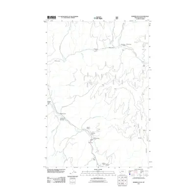
2011 Map of Robbins Gulch
USGS Topo · Published 2011About this map
The settlement of Conner and its Conner Post Office anchor the western edge of this Bitterroot National Forest landscape. The terrain is defined by a dense network of gulches and creeks feeding into the East Fork Bitterroot River, which is crossed by the East Fork of the Bitterroot River Bridge in the south. Notable cultural and historical points include the Medicine Tree Point of Interest near the riverbanks and the Sula Rural Fire Dist Sta 3. A complex system of Forest Service roads and trails, such as the Salt Lick Trl and Phantom Rd, provides access to the higher elevations of Elk Point and the numerous drainages including Moonshine Gulch and Whiskey Gulch. The map captures a moment of modern forestry management and rural habitation where traditional land names like Beam Flat and Stonehouse Gulch persist.
Find a feature on this map
43 named features on this map. Tap any name to fly to it.
Don’t see what you’re looking for? This feature index may not catch every label — zoom into the map to look around manually.
Map Details
Editions of this 2011 Robbins Gulch Map
This is the sole edition of this map. No revisions or reprints were ever made.
Other maps of this area

1901 · Hamilton
USGS Topo · 1:125,000

1909 · Sapphire
USGS Topo · 1:125,000

1947 · Butte
USGS Topo · 1:250,000

1955 · Dillon
USGS Topo · 1:250,000

1956 · Elk City
USGS Topo · 1:250,000

1956 · Hamilton
USGS Topo · 1:250,000

1957 · Dillon
USGS Topo · 1:250,000

1958 · Butte
USGS Topo · 1:250,000

1958 · Dillon
USGS Topo · 1:250,000

1959 · Hamilton
USGS Topo · 1:250,000