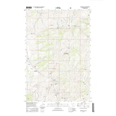
2017 Map of Robbins Gulch
USGS Topo · Published 2017About this map
Conner serves as the primary settlement within this mountain landscape, positioned along the East Fork Bitterroot River. The terrain is defined by the extensive reaches of the Bitterroot National Forest, where a complex network of forest roads and gulches illustrates the region's topography. Notable among these are Robbins Gulch and Whiskey Gulch, which, along with features like Billy Goat Gulch and Moonshine Gulch, hint at the local character and history of the Ravalli County backwoods.
Find a feature on this map
67 named features on this map. Tap any name to fly to it.
Don’t see what you’re looking for? This feature index may not catch every label — zoom into the map to look around manually.
Map Details
Editions of this 2017 Robbins Gulch Map
This is the sole edition of this map. No revisions or reprints were ever made.
Other maps of this area

1901 · Hamilton
USGS Topo · 1:125,000

1909 · Sapphire
USGS Topo · 1:125,000

1947 · Butte
USGS Topo · 1:250,000

1955 · Dillon
USGS Topo · 1:250,000

1956 · Elk City
USGS Topo · 1:250,000

1956 · Hamilton
USGS Topo · 1:250,000

1957 · Dillon
USGS Topo · 1:250,000

1958 · Butte
USGS Topo · 1:250,000

1958 · Dillon
USGS Topo · 1:250,000

1959 · Hamilton
USGS Topo · 1:250,000