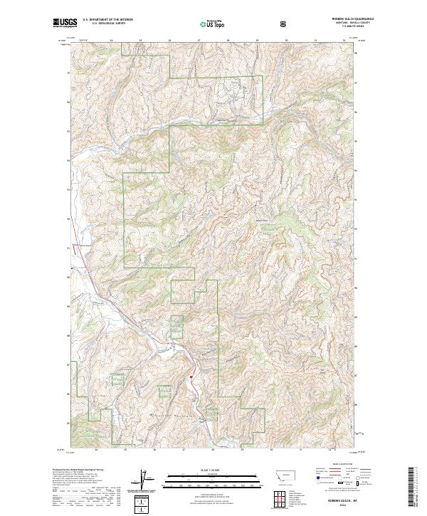
2024 Map of Robbins Gulch
USGS Topo · Published 2024About this map
Bitterroot National Forest spans this mountain landscape, where the Sapphire Mountains and Bitterroot Mountains converge. The terrain is defined by a dense network of drainages and gulches, including the aptly named Whiskey Gulch and Moonshine Gulch, which suggest the area's colorful local history. Settlement is sparse, with small clearings like Beam Flat providing rare level ground amidst the steep contours near the East Fork Bitterroot River.
Find a feature on this map
71 named features on this map. Tap any name to fly to it.
Don’t see what you’re looking for? This feature index may not catch every label — zoom into the map to look around manually.
Map Details
Editions of this 2024 Robbins Gulch Map
This is the sole edition of this map. No revisions or reprints were ever made.
Other maps of this area

1901 · Hamilton
USGS Topo · 1:125,000

1909 · Sapphire
USGS Topo · 1:125,000

1947 · Butte
USGS Topo · 1:250,000

1955 · Dillon
USGS Topo · 1:250,000

1956 · Elk City
USGS Topo · 1:250,000

1956 · Hamilton
USGS Topo · 1:250,000

1957 · Dillon
USGS Topo · 1:250,000

1958 · Butte
USGS Topo · 1:250,000

1958 · Dillon
USGS Topo · 1:250,000

1959 · Hamilton
USGS Topo · 1:250,000