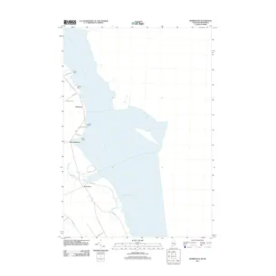
2011 Map of Robbinston
USGS Topo · Published 2011About this map
Saint Croix River and the northern reaches of Passamaquoddy Bay define this coastal corner of Washington County, where the international boundary meets the Atlantic tides. The settlement of Robbinston serves as a primary anchor along the riverbank, supported by smaller locales such as South Robbinston and North Perry to the south. This coastal landscape is marked by a series of prominent landforms including Hinton Point, Brooks Bluff, and Liberty Point, which have historically dictated the placement of local roads and maritime access.
Find a feature on this map
21 named features on this map. Tap any name to fly to it.
Don’t see what you’re looking for? This feature index may not catch every label — zoom into the map to look around manually.
Map Details
Editions of this 2011 Robbinston Map
This is the sole edition of this map. No revisions or reprints were ever made.
Other maps of this area

1907 · Eastport
USGS Topo · 1:48,000

1908 · Eastport
USGS Topo · 1:62,500

1929 · Robbinston
USGS Topo · 1:48,000

1931 · Robbinston
USGS Topo · 1:62,500

1943 · Eastport
USGS Topo · 1:62,500

1945 · Eastport
USGS Topo · 1:62,500

1949 · Robbinston
USGS Topo · 1:24,000

1949 · Pembroke
USGS Topo · 1:24,000

1949 · Red Beach
USGS Topo · 1:24,000

1949 · Devils Head
USGS Topo · 1:24,000