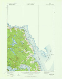
1929 Map of Robbinston
USGS Topo · Published 1961About this map
St Croix River and Passamaquoddy Bay define this borderland landscape, where the international boundary between Maine and New Brunswick runs through the tidal waters. The topography reflects a maritime economy and rural settlement pattern centered on the coastal villages of Robbinston and Red Beach. Historically significant Saint Croix Island sits in the river channel, while the mainland is dotted with landmarks of early community life, including the Robbinston Ridge Ch and several local schools like the South Robbinston Sch and Shore Sch. Inland, a complex network of freshwater bodies such as Nashs Lake, Boyden Lake, and the Gurrewock Lakes drain through Western Stream and Eastern Stream toward the coast. The Maine Central RR skirts the shoreline, connecting these port towns to the larger regional rail network while passing numerous coves and points like Brooks Cove and Devils Head.
Find a feature on this map
82 named features on this map. Tap any name to fly to it.
Don’t see what you’re looking for? This feature index may not catch every label — zoom into the map to look around manually.
Map Details
Editions of this 1929 Robbinston Map
3 editions found
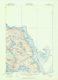
Other maps of this area

1907 · Eastport
USGS Topo · 1:48,000

1908 · Eastport
USGS Topo · 1:62,500

1929 · Calais
USGS Topo · 1:48,000

1929 · Robbinston
USGS Topo · 1:48,000

1931 · Robbinston
USGS Topo · 1:62,500

1932 · Calais
USGS Topo · 1:62,500

1940 · Kellyland
USGS Topo · 1:62,500

1941 · Gardner Lake
USGS Topo · 1:62,500

1942 · Kellyland
USGS Topo · 1:62,500

1943 · Gardner Lake
USGS Topo · 1:62,500