
1931 Map of Robbinston
USGS Topo · Published 1931About this map
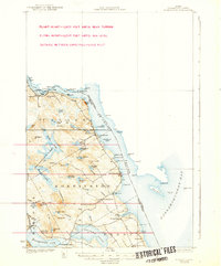
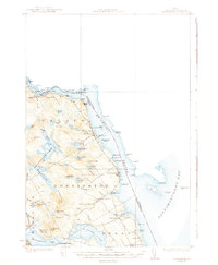
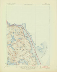
Robbinston and the surrounding coastline of Washington County are defined here by the international boundary winding through the St Croix River and into Passamaquoddy Bay. Surveyed in 1929, the landscape shows a network of local schools and community centers like the South Robbinston Sch and Back District Ch, alongside the industrial presence of the Maine Central RR following the western shore. Inland, the terrain is dominated by complex water systems including the Gurrewock Lakes, Boyden Lake, and Pennamaquan Lake, separated by prominent heights such as Elliotts Mtn and Carlyle Mtn. Navigational markers like the Navy Bar LH and Tongue Shoal LH highlight the maritime importance of the bay, while local landmarks like Devils Head and Bluffs Head Pt overlook the river narrows near the settlement at Red Beach.
Find a feature on this map
83 named features on this map. Tap any name to fly to it.
Don’t see what you’re looking for? This feature index may not catch every label — zoom into the map to look around manually.
Map Details
Editions of this 1931 Robbinston Map
4 editions found
Other maps of this area

1907 · Eastport
USGS Topo · 1:48,000

1908 · Eastport
USGS Topo · 1:62,500

1929 · Calais
USGS Topo · 1:48,000

1929 · Robbinston
USGS Topo · 1:48,000

1932 · Calais
USGS Topo · 1:62,500

1940 · Kellyland
USGS Topo · 1:62,500

1941 · Gardner Lake
USGS Topo · 1:62,500

1942 · Kellyland
USGS Topo · 1:62,500

1943 · Gardner Lake
USGS Topo · 1:62,500

1943 · Eastport
USGS Topo · 1:62,500