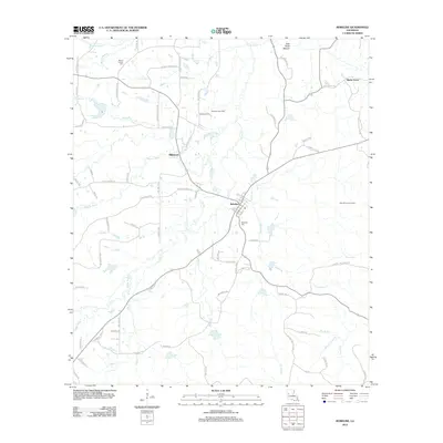
2012 Map of Robeline
USGS Topo · Published 2012About this map
Robeline serves as the central hub of this Natchitoches Parish landscape, where the confluence of Winn Cr and Stoker Br meets a network of local parish roads and historic routes. The settlement pattern here is deeply tied to the land's drainage, with residences and infrastructure clustered along ridges between watercourses like Little River and Bayou Pedro. Evidence of the region's industrial footprint is visible in the Robeline Gas Field and the Big Hill Lookout Tower, suggesting a mix of timber management and energy extraction in the early 21st century.
Find a feature on this map
82 named features on this map. Tap any name to fly to it.
Don’t see what you’re looking for? This feature index may not catch every label — zoom into the map to look around manually.
Map Details
Editions of this 2012 Robeline Map
This is the sole edition of this map. No revisions or reprints were ever made.
Other maps of this area

1935 · Hagewood
USGS Topo · 1:31,680

1937 · Bellwood
USGS Topo · 1:31,680

1937 · Campti SW
USGS Topo · 1:31,680

1938 · Hollis Creek
USGS Topo · 1:31,680

1938 · Allen
USGS Topo · 1:31,680

1942 · Many
USGS Topo · 1:62,500

1943 · Many
USGS Topo · 1:62,500

1943 · Provencal
USGS Topo · 1:62,500

1944 · Campti
USGS Topo · 1:62,500

1945 · Provencal
USGS Topo · 1:62,500