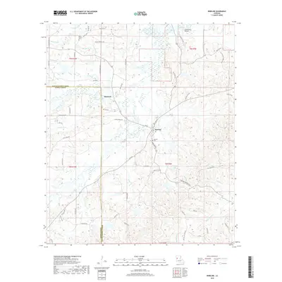
2018 Map of Robeline
USGS Topo · Published 2018About this map
Robeline serves as the central hub of this northern Louisiana landscape, situated where the crossing of Texas St and Oak St marks the town's historic core. The settlement is surrounded by a complex network of creek drainage and wetlands, including the extensive Fish Pond Bottom along the Little River. To the northwest, the smaller community of Shamrock sits near the winding Bayou Adois.
Find a feature on this map
73 named features on this map. Tap any name to fly to it.
Don’t see what you’re looking for? This feature index may not catch every label — zoom into the map to look around manually.
Map Details
Editions of this 2018 Robeline Map
This is the sole edition of this map. No revisions or reprints were ever made.
Other maps of this area

1935 · Hagewood
USGS Topo · 1:31,680

1937 · Bellwood
USGS Topo · 1:31,680

1937 · Campti SW
USGS Topo · 1:31,680

1938 · Hollis Creek
USGS Topo · 1:31,680

1938 · Allen
USGS Topo · 1:31,680

1942 · Many
USGS Topo · 1:62,500

1943 · Many
USGS Topo · 1:62,500

1943 · Provencal
USGS Topo · 1:62,500

1944 · Campti
USGS Topo · 1:62,500

1945 · Provencal
USGS Topo · 1:62,500