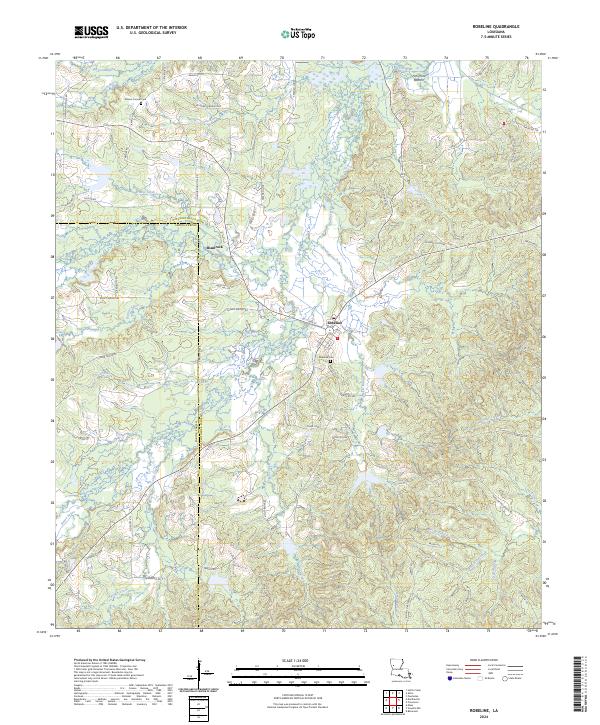
2024 Map of Robeline
USGS Topo · Published 2024About this map
Robeline and the neighboring community of Shamrock anchor this survey of the undulating landscape along the Natchitoches and Sabine Parish line. The area is defined by an intricate network of waterways, including the winding Little River to the north and numerous bayous such as Bayou Provencal and Bayou Pedro. This modern data shows a rural environment where land use is still heavily influenced by the drainage patterns of features like Fish Pond Bottom and Coon Kill Creek. For those researching local family history, the map provides precise locations for the Mount Carmel Cem and Mount Carmel Ch in the northwest, as well as the Robeline Cem near the town center. The road network remains largely rural, dominated by routes like Texas St and family-named thoroughfares including Rawls Loop and Nelson Rd.
Find a feature on this map
80 named features on this map. Tap any name to fly to it.
Don’t see what you’re looking for? This feature index may not catch every label — zoom into the map to look around manually.
Map Details
Editions of this 2024 Robeline Map
This is the sole edition of this map. No revisions or reprints were ever made.
Other maps of this area

1935 · Hagewood
USGS Topo · 1:31,680

1937 · Bellwood
USGS Topo · 1:31,680

1937 · Campti SW
USGS Topo · 1:31,680

1938 · Hollis Creek
USGS Topo · 1:31,680

1938 · Allen
USGS Topo · 1:31,680

1942 · Many
USGS Topo · 1:62,500

1943 · Many
USGS Topo · 1:62,500

1943 · Provencal
USGS Topo · 1:62,500

1944 · Campti
USGS Topo · 1:62,500

1945 · Provencal
USGS Topo · 1:62,500