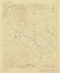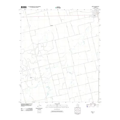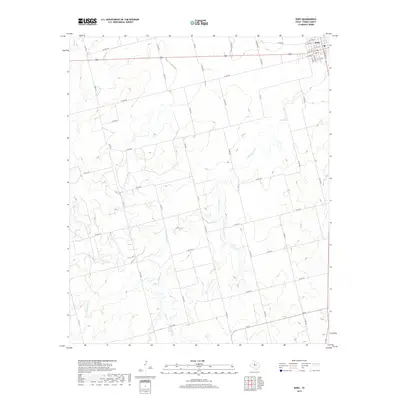
1969 Map of Roby
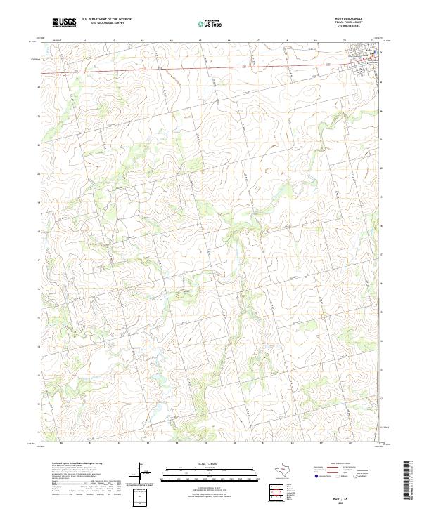
USGS Topo · Published 1972About this map
The county seat of Roby serves as the primary focal point of this West Texas survey, appearing just as the region's agricultural and energy sectors were deeply established. Positioned near the intersection of several regional routes, the town features a local Rodeo Ground and a Roadside Park along its northern edge. The landscape is defined by the drainage patterns of Cottonwood Creek and East Plum Branch, which carve through the terrain and influence the placement of rural landmarks. Local spiritual and community life is anchored by country churches such as El Paso Ch and Liberty Ch, while the industrial footprint of the era is evident through scattered oil wells, gravel pits, and a prominent north-south Pipeline. This map captures a moment in Fisher County history where ranching traditions and the modern oil economy coexisted on the rolling plains.
Find a feature on this map
16 named features on this map. Tap any name to fly to it.
Don’t see what you’re looking for? This feature index may not catch every label — zoom into the map to look around manually.
Map Details
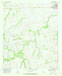
Editions of this 1969 Roby Map
This is the sole edition of this map. No revisions or reprints were ever made.
Historical Maps of Roby Through Time
7 maps found