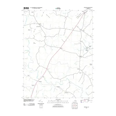
2010 Map of Rochelle
USGS Topo · Published 2010About this map
Madison and the surrounding rural communities of Madison County are defined by a network of creeks and ridges feeding into the Rapidan River. The landscape is dotted with small, historically significant settlements like Wolftown, Shelby, and Rochelle, connected by winding routes such as Fredericksburg Rd. Family history is preserved across the terrain in sites like the Rose Park United Methodist Cemetery and Mount Nebo Cemetery, while local industry is noted at Repton Mills and several dams along Beautiful Run.
Find a feature on this map
51 named features on this map. Tap any name to fly to it.
Don’t see what you’re looking for? This feature index may not catch every label — zoom into the map to look around manually.
Map Details
Editions of this 2010 Rochelle Map
This is the sole edition of this map. No revisions or reprints were ever made.
Other maps of this area

1892 · Gordonsville
USGS Topo · 1:125,000

1930 · Madison
USGS Topo · 1:48,000

1933 · Madison
USGS Topo · 1:62,500

1935 · Charlottesville
USGS Topo · 1:62,500

1939 · Charlottesville
USGS Topo · 1:62,500

1949 · Charlottesville
USGS Topo · 1:250,000

1949 · Charlottesville
USGS Topo · 1:62,500

1956 · Charlottesville
USGS Topo · 1:250,000

1961 · Gordonsville
USGS Topo · 1:62,500

1961 · Rapidan
USGS Topo · 1:62,500