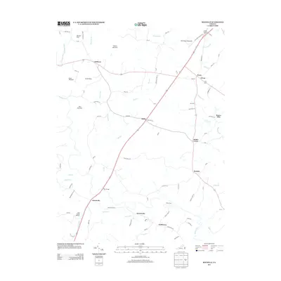
2013 Map of Rochelle
USGS Topo · Published 2013About this map
Wolftown and Rochelle serve as primary anchors for this rural Madison County landscape, where the road network connects a series of small, historically rooted settlements. The map illustrates a community defined by its proximity to water and terrain, featuring prominent landmarks like Courthouse Mountain and Mitchell Bluff. Evidence of early agricultural and industrial life is found in place names such as Repton Mills and John Lambs Bottom, while river crossings like Wilhoits Ford and Early Bridge suggest the essential transit points of earlier eras. The topography is shaped by numerous drainages, including Elk Run and Beautiful Run, which flow toward the Rapidan River. Smaller crossroads like Shifflet Corner and Dawsonville highlight the dispersed nature of local commerce and residency in this part of the Virginia Piedmont.
Find a feature on this map
87 named features on this map. Tap any name to fly to it.
Don’t see what you’re looking for? This feature index may not catch every label — zoom into the map to look around manually.
Map Details
Editions of this 2013 Rochelle Map
This is the sole edition of this map. No revisions or reprints were ever made.
Other maps of this area

1892 · Gordonsville
USGS Topo · 1:125,000

1930 · Madison
USGS Topo · 1:48,000

1933 · Madison
USGS Topo · 1:62,500

1935 · Charlottesville
USGS Topo · 1:62,500

1939 · Charlottesville
USGS Topo · 1:62,500

1949 · Charlottesville
USGS Topo · 1:250,000

1949 · Charlottesville
USGS Topo · 1:62,500

1956 · Charlottesville
USGS Topo · 1:250,000

1961 · Gordonsville
USGS Topo · 1:62,500

1961 · Rapidan
USGS Topo · 1:62,500