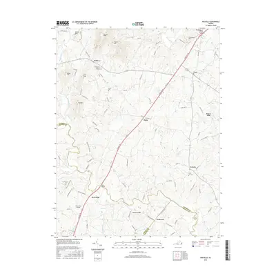
2016 Map of Rochelle
USGS Topo · Published 2016About this map
Madison stands as a focal point in this Central Virginia landscape, where the foothills meet the Rapidan River and S River. The topography is defined by prominent rises like Tippets Mtn, Courthouse Mtn, and Banks Mtn, which overlook a network of rural communities connected by the S Seminole Trl. Local heritage is deeply rooted in sites such as Rose Park United Methodist Cem and the small settlements of Wolftown, Shelby, and Rochelle.
Find a feature on this map
97 named features on this map. Tap any name to fly to it.
Don’t see what you’re looking for? This feature index may not catch every label — zoom into the map to look around manually.
Map Details
Editions of this 2016 Rochelle Map
This is the sole edition of this map. No revisions or reprints were ever made.
Other maps of this area

1892 · Gordonsville
USGS Topo · 1:125,000

1930 · Madison
USGS Topo · 1:48,000

1933 · Madison
USGS Topo · 1:62,500

1935 · Charlottesville
USGS Topo · 1:62,500

1939 · Charlottesville
USGS Topo · 1:62,500

1949 · Charlottesville
USGS Topo · 1:250,000

1949 · Charlottesville
USGS Topo · 1:62,500

1956 · Charlottesville
USGS Topo · 1:250,000

1961 · Gordonsville
USGS Topo · 1:62,500

1961 · Rapidan
USGS Topo · 1:62,500