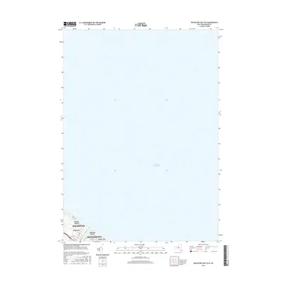
2016 Map of Rochester East OE N
USGS Topo · Published 2016About this map
Lake Ontario dominates this northern Monroe County perspective, where the mouth of the Genesee River meets the lakefront. The map focuses on the historic lakeside communities of Rochester and Irondequoit, detailing the transition from urban waterfront to suburban residential grids. Local identity is anchored in the specialized beach neighborhoods and landings along the shore, including the recreation-focused Ontario Beach and the residential clusters at White City and Windsor Beach.
Find a feature on this map
13 named features on this map. Tap any name to fly to it.
Don’t see what you’re looking for? This feature index may not catch every label — zoom into the map to look around manually.
Map Details
Editions of this 2016 Rochester East OE N Map
This is the sole edition of this map. No revisions or reprints were ever made.
Other maps of this area

1895 · Rochester
USGS Topo · 1:62,500

1895 · Ontario Beach
USGS Topo · 1:62,500

1898 · Rochester
USGS Topo · 1:62,500

1899 · Ontario Beach
USGS Topo · 1:62,500

1900 · Macedon
USGS Topo · 1:62,500

1912 · Rochester
USGS Topo · 1:62,500

1912 · Ontario Beach
USGS Topo · 1:62,500

1920 · Rochester
USGS Topo · 1:62,500

1931 · Rochester West
USGS Topo · 1:24,000

1931 · Rochester East
USGS Topo · 1:24,000