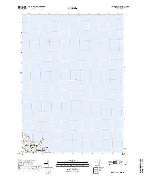
2023 Map of Rochester East OE N
USGS Topo · Published 2023About this map
The northern edge of Rochester meets the expanse of Lake Ontario in this contemporary digital survey. The geography is dominated by the mouth of the Genesee River, which divides the residential and recreational shoreline communities. To the west of the river lies the neighborhood of Charlotte, historically a vital port entry for the region, and the popular Ontario Beach park. To the east, the map details the waterfront reaches of Irondequoit, including the shoreline areas of Windsor Beach and White City. This modern rendering focuses heavily on the road network, including Beach Ave and Lake Ave, illustrating how the infrastructure of this urban-lakefront boundary has evolved to support both neighborhood transit and seasonal recreation. The map provides a clear record of the current street grid where these residential pockets interface with the Great Lakes shoreline.
Find a feature on this map
13 named features on this map. Tap any name to fly to it.
Don’t see what you’re looking for? This feature index may not catch every label — zoom into the map to look around manually.
Map Details
Editions of this 2023 Rochester East OE N Map
This is the sole edition of this map. No revisions or reprints were ever made.
Other maps of this area

1895 · Rochester
USGS Topo · 1:62,500

1895 · Ontario Beach
USGS Topo · 1:62,500

1898 · Rochester
USGS Topo · 1:62,500

1899 · Ontario Beach
USGS Topo · 1:62,500

1900 · Macedon
USGS Topo · 1:62,500

1912 · Rochester
USGS Topo · 1:62,500

1912 · Ontario Beach
USGS Topo · 1:62,500

1920 · Rochester
USGS Topo · 1:62,500

1931 · Rochester West
USGS Topo · 1:24,000

1931 · Rochester East
USGS Topo · 1:24,000